Bulgarian
 Romanian
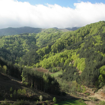
Gyumyurjinski Snezhnik Protected Area

Overview
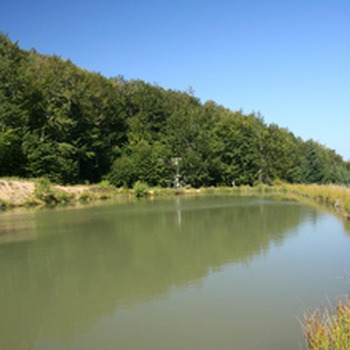
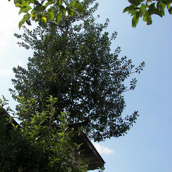
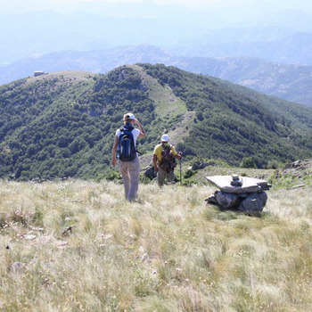
The area was declared a protected area in 2003 and covers an area of 1926.4 ha. It includes the lands of the villages of Gorno and Dolno Kapinovo, Chakalarovo, Shumnatitsa and Kremen from Kirkovo municipality. To the south it reaches our state border with Greece, covering the area of Veikata Peak (1463 m), the southernmost point of Bulgaria - part of the Gyumyurjinski Snezhnik ridge. The nature in the area is well preserved. There are large areas where there are remnants of the so-called Silva Magna Bulgaricum (Great Bulgarian Forest), which impressed many travelers in the distant past. Primary maple, beech and beech-fir forests over 150 years old have been preserved. Many of the specimens are over 300, even 400 years old, and there are single trees that are probably much older. 62 tree and shrub species have been identified on the territory. The Red Book of Bulgaria includes 11 plant species. Some of them are Rhodope cream (Balkan endemic, the only locality for the Eastern Rhodopes), Cossack juniper, yew, mountain maple, beech and others. The fauna is less studied. A bald eagle, a small hawk, a wasp, a black woodpecker, a small hawk, a bear, etc. have been found. Many of the separate protected natural sites in the municipality of Kirkovo fall within the territory of Gyumyurjinski Snezhnik.
Recommended
- Letovnishki waterfall
- Varbitsa River
- The Big and the Small Cauldron- Golemiat i Malak Kazan
- Thracian fortress in the village of Lisitsite
- Chit kaya
- Church of the Assumption - Kardzhali
- Open-air museum of the Rhodope traditions- Batkovtsi village