White Wall Fortress
Overview
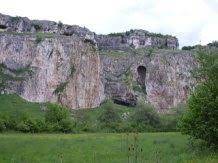
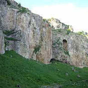
Late, the ancient fortress is located in the area of "White Wall", 3.97 km northwest in a straight line from the center of the village of Svalenik. It is located on a long promontory with a rocky slope to the southeast, very steep from the northwest and more sloping from the southwest. It is bounded by the Malki Lom River from the southeast, southwest and northwest. From the north it is bounded by dry land. The fortress is most accessible from the northeast, where through a narrow neck up to 3 m the peninsula connects with the rest of the massif. 392 m south of the site, on the other bank of the river, there is another fortification in the Dolap Boaz area. The fortress has an irregular shape in accordance with the configuration of the terrain, elongated in the northeast-southwest direction. It occupies an area of about 5-6 decares. It is 255 m long and 100 m wide. The southeast, southwest and northeast walls are straight, the northwest wall makes two bends, following the configuration of the terrain. The southwest wall is 80 m long. There is a gate on it. The southeast wall is 250 m long. The northeastern wall is about 30 m long, blocking the neck of the peninsula west of the narrowest part. It also has a gate. The north-western wall from west to east is 85 m long to the first bend, the second sector between the two folds is also 85 m long, the third easternmost sector is 115 m long. The wall was built of hewn stones arranged in rows, welded with mortar. From the southeast, southwest and northwest it was 1.9 m thick, and from the northeast, where the fortress is most accessible, the wall was 3.6 m thick. On this side there is an artificial cut in the rock, in the form of a ditch. Its width is about 2 m and its depth is about 1.5-2 m. The foundations of buildings were visible in the site, some built of cut and others of quarry stones. Now the whole area is overgrown with bushes and grass and only in some places the route of the fortress wall is outlined, and there are still preserved parts of it. The ancient road from the Yatrus to the Abritus and from there to the ports of the Black Sea passed through the fort in an east-west direction. He crossed the Malki Lom River below the fortress. On the left bank of the river, the road was guarded by the fort at Dolap Boaz, where the road passes east and south along it. About 5 km east of the site in the northwest-southeast direction passes the ancient road "Sexaginta Prista" - "Abritus", and about 3 km west, in the north-south direction passes the road from "Sexaginta Prista" and "Tiger" to "Tuyda " through the gate" Vratnik ".
Recommended
- Ivanovo rock churches
- Gramovets rock monastery complex
- Fortress " Cherven" (Red)
- Basarbovo Monastery
- Rusenski Lom Nature Park
- Orlova CHuka cave
- Kale Adjanka Fortress
- The tree of desires


 Bulgarian
 Romanian

